Walk - Crater Rim - Mt Vernon to Rapaki
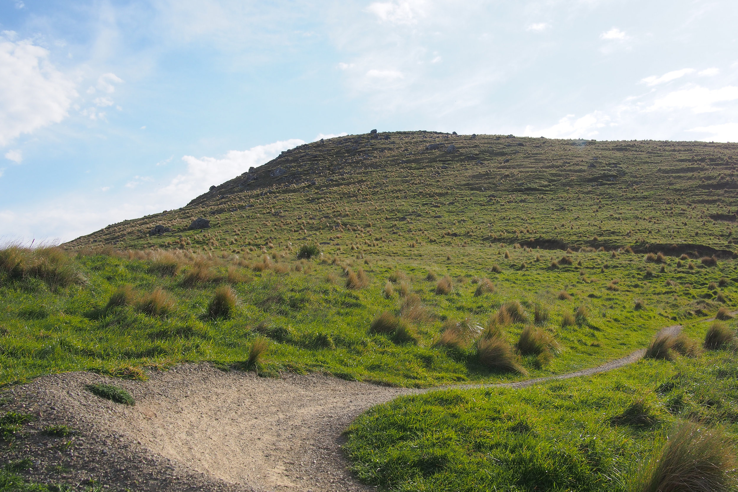
You might think it is impossible to "accidentally" walk up a mountain (or hill - depending on who is telling the story). I thought so too, until it happened to us twice. Rather than brave the admittedly slight incline to return the way we had come (downhill on the way in) sweeping around the wider path Mt Vernon, we thought that we could just sneak round the back basicaly directly to our car. Turns out there is a ravine in the way, but you only discover this when you've already invested a non insignificant number of steps. This left us with two options; backtrack and go the way we didnt want to, plus all the distance we had covered on the wild goose chase or head directly upwards.
As we were walking up, a runner passed us and with apparent ease, navigated his way up towards the summit, sillouetted in the evening light. We looked at each other and the horror on our faces said the words "shit thats not where the path goes is it". It was, though we still chose not to accept it until we ended up clinging to the side of a cliff trying to go the "short way" and reluctantly followed the path of that runner (thank you - anonymous athlete).
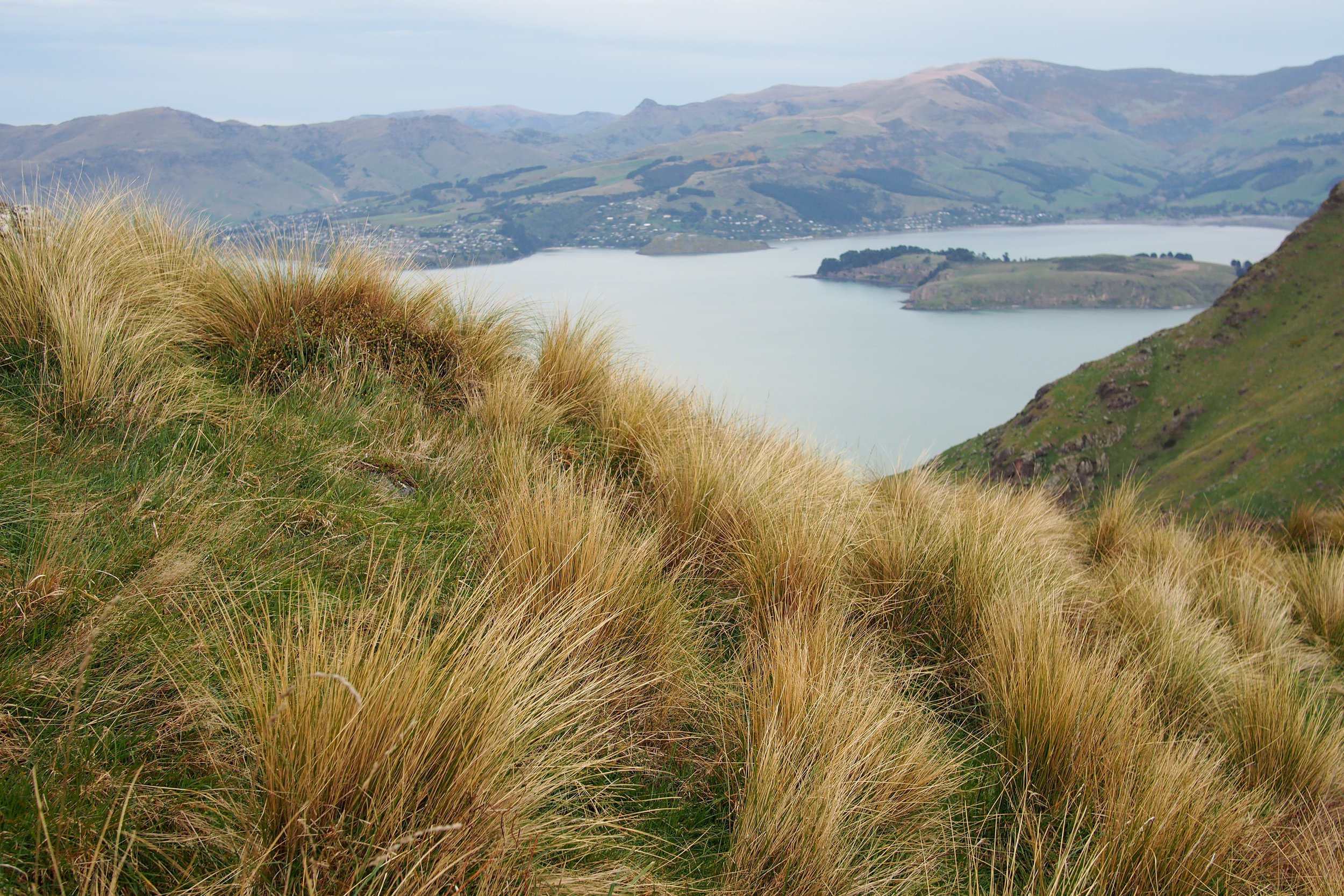
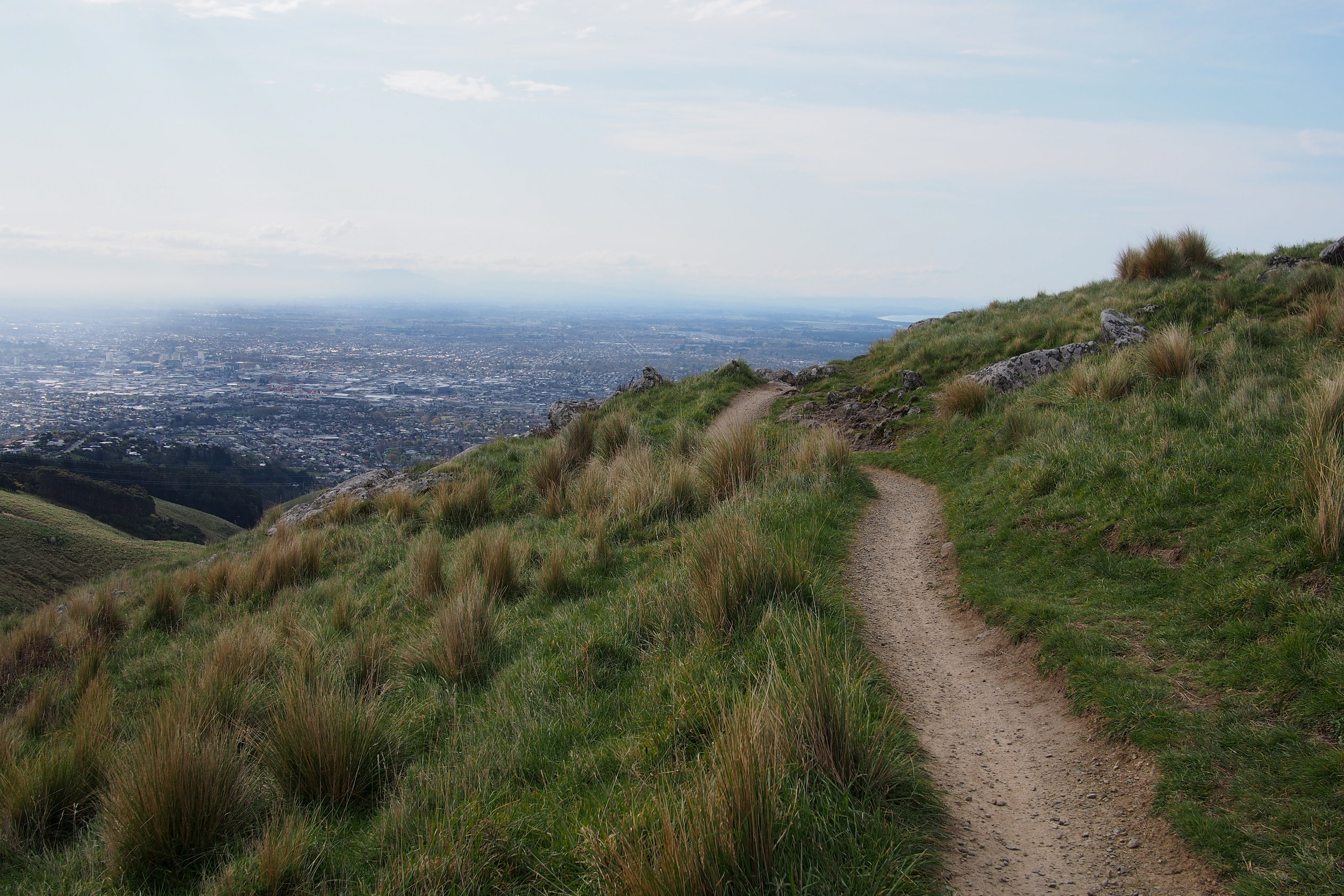
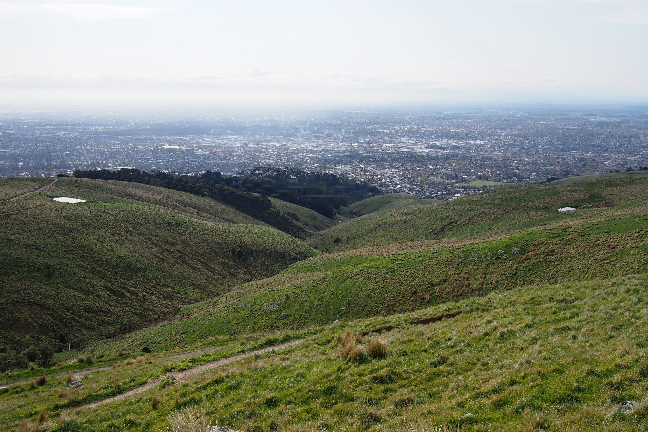
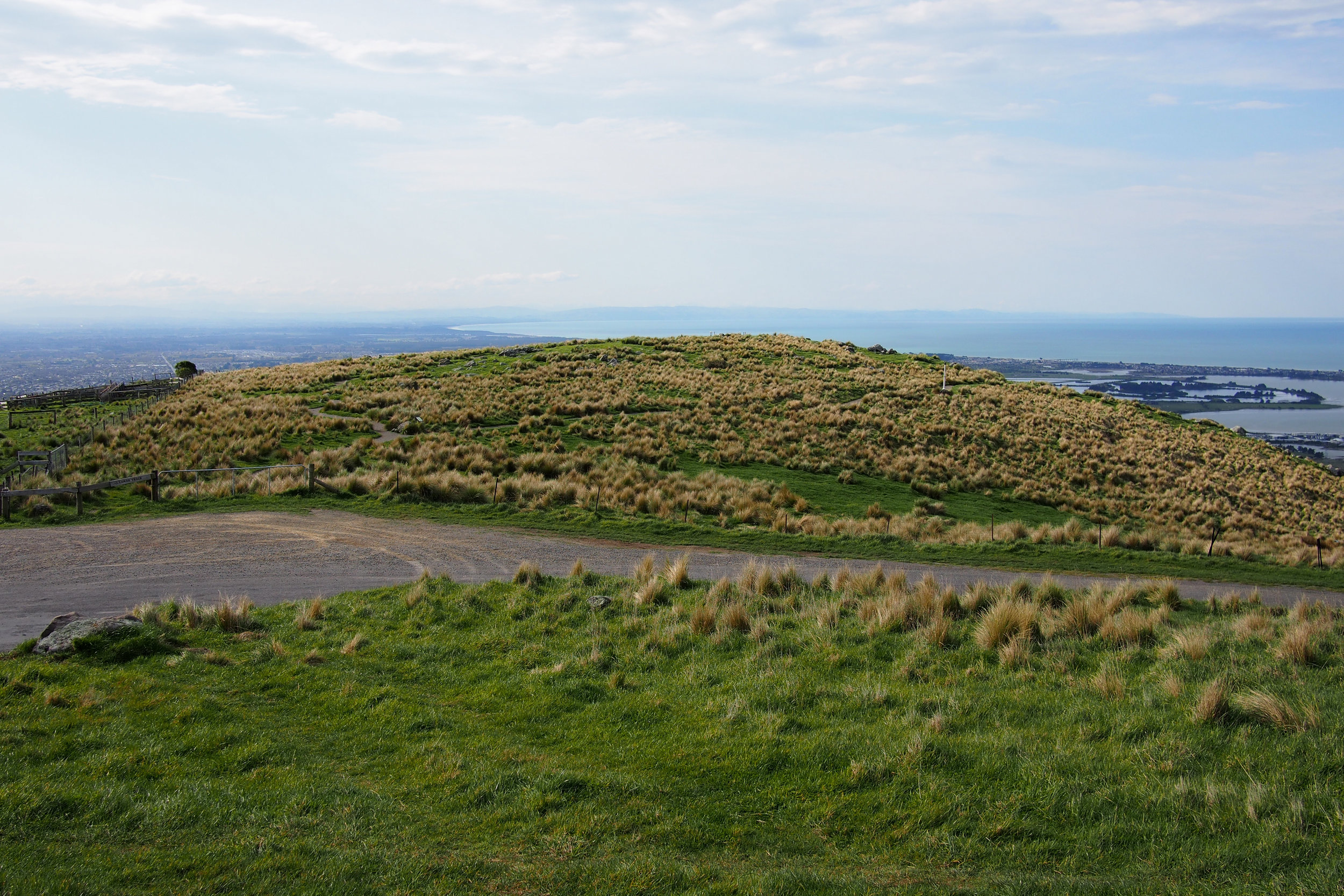
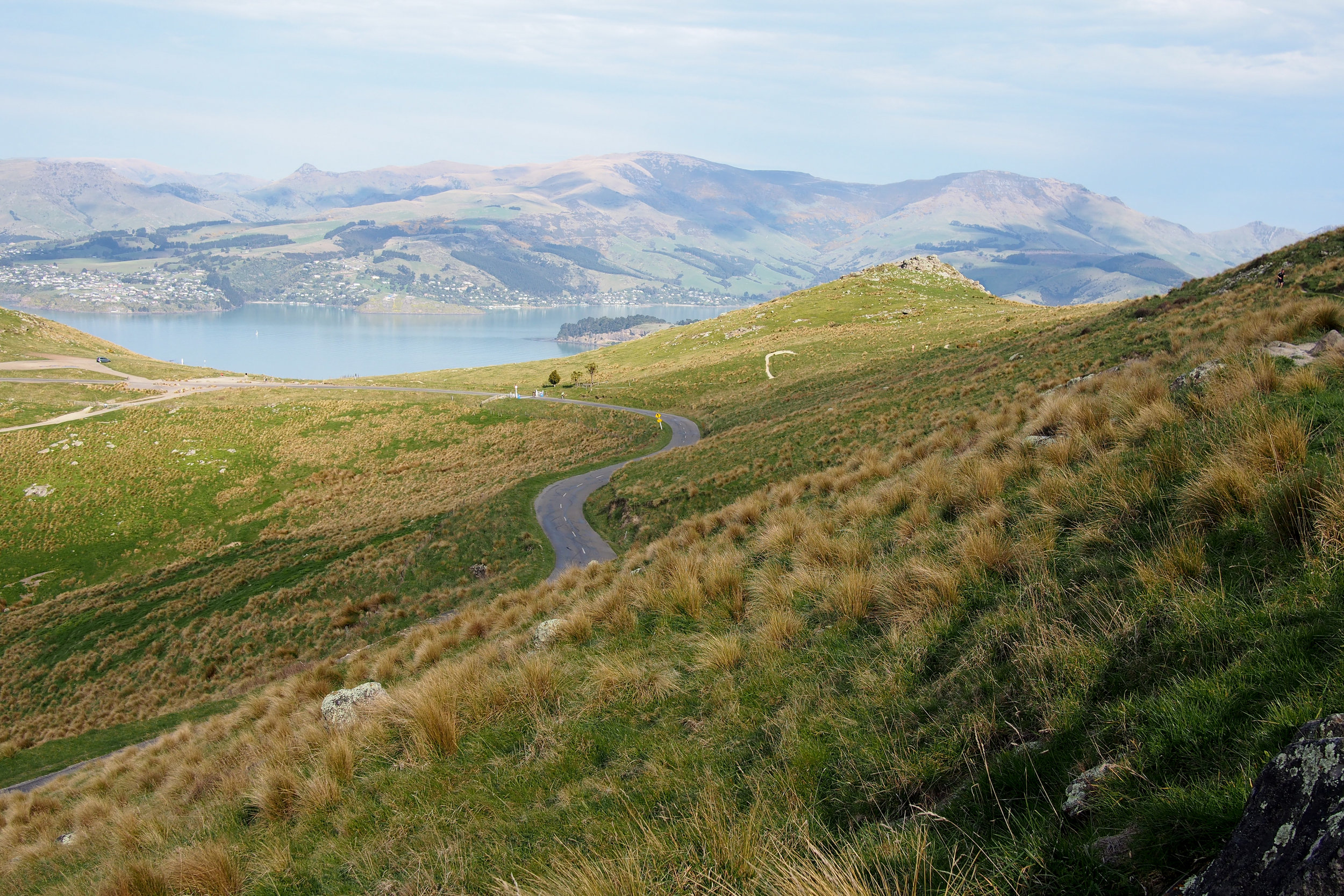
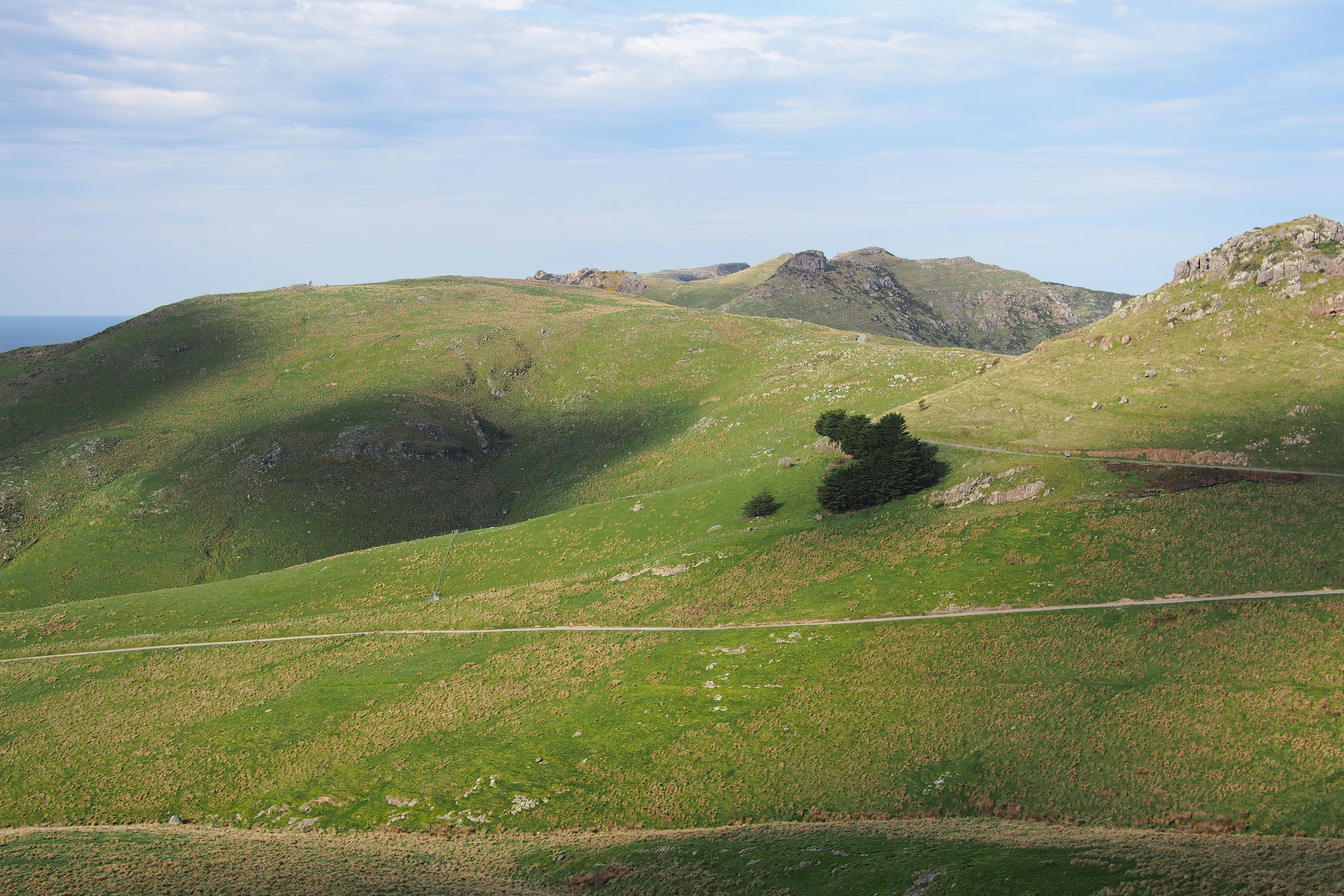
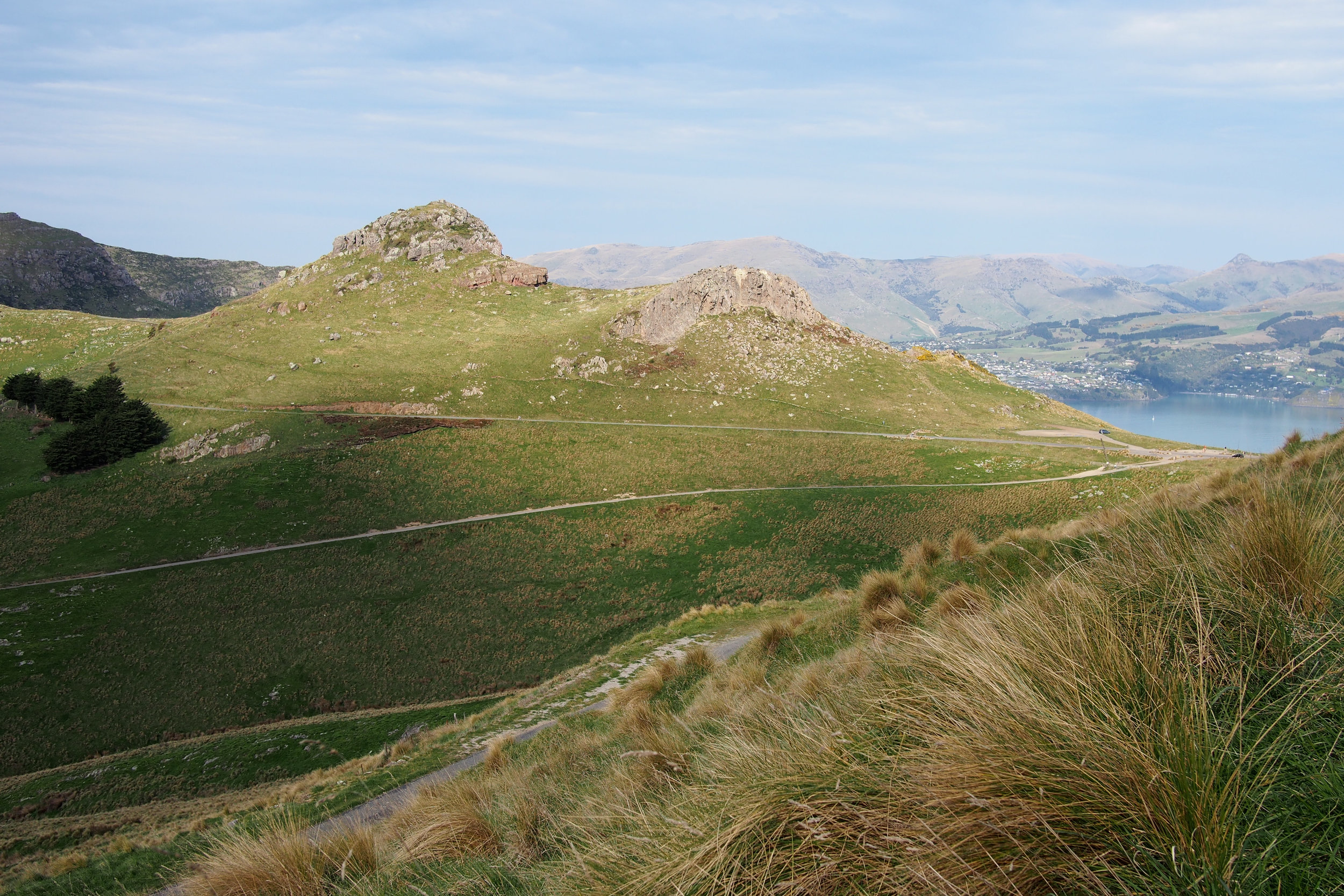
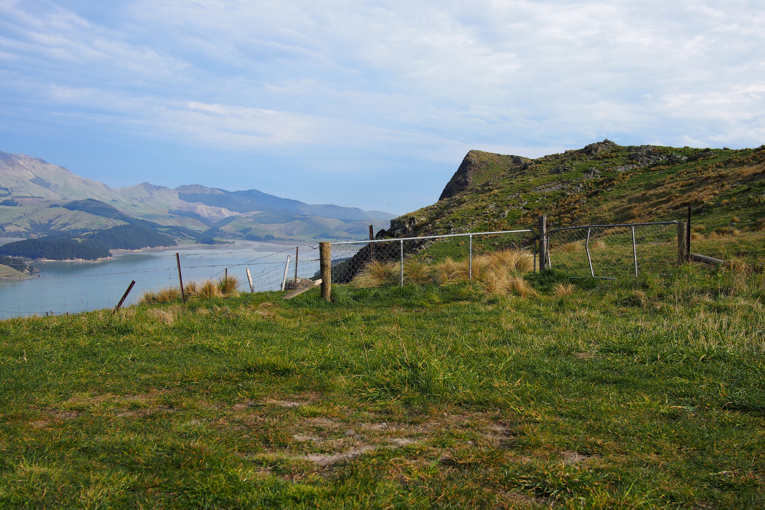
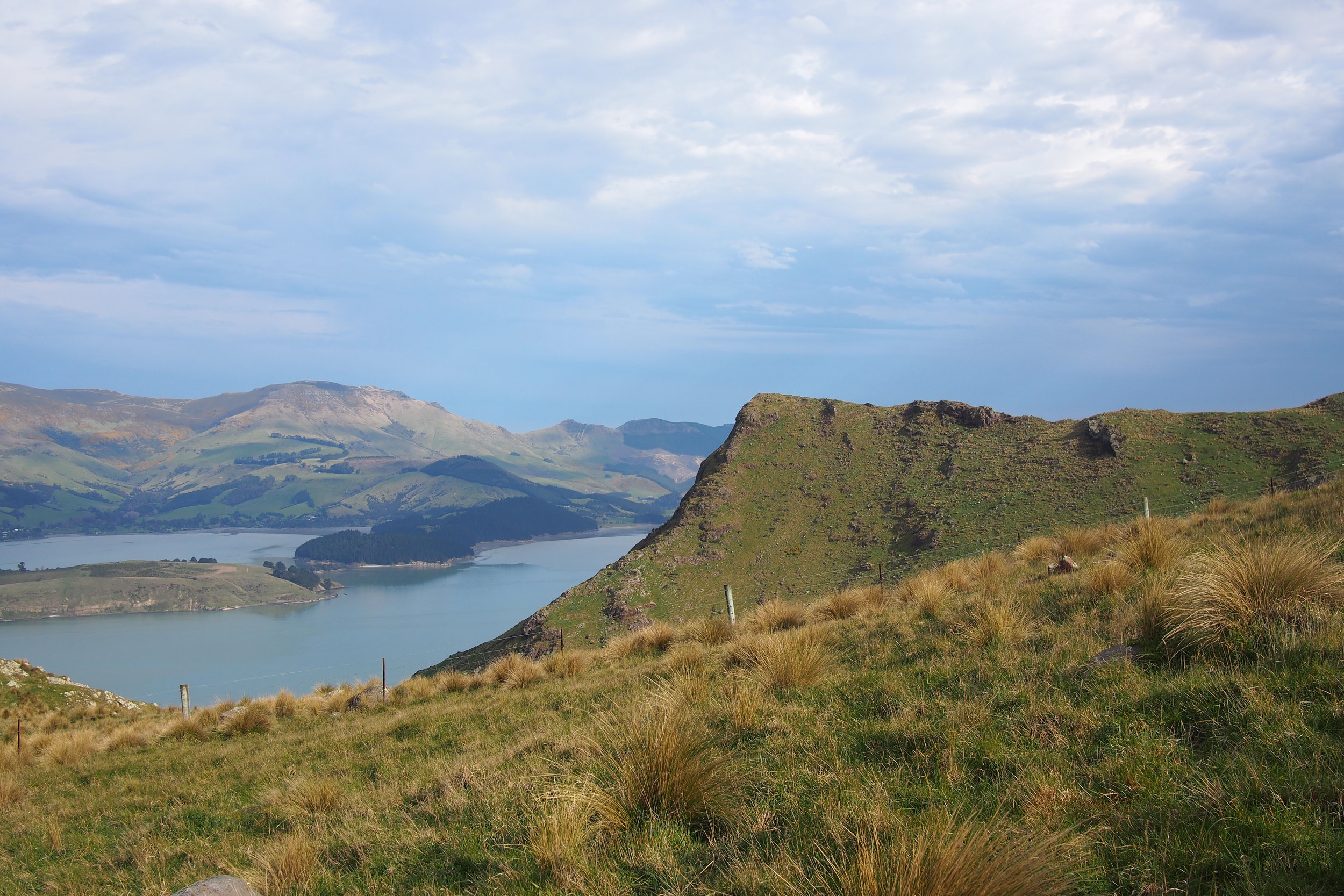
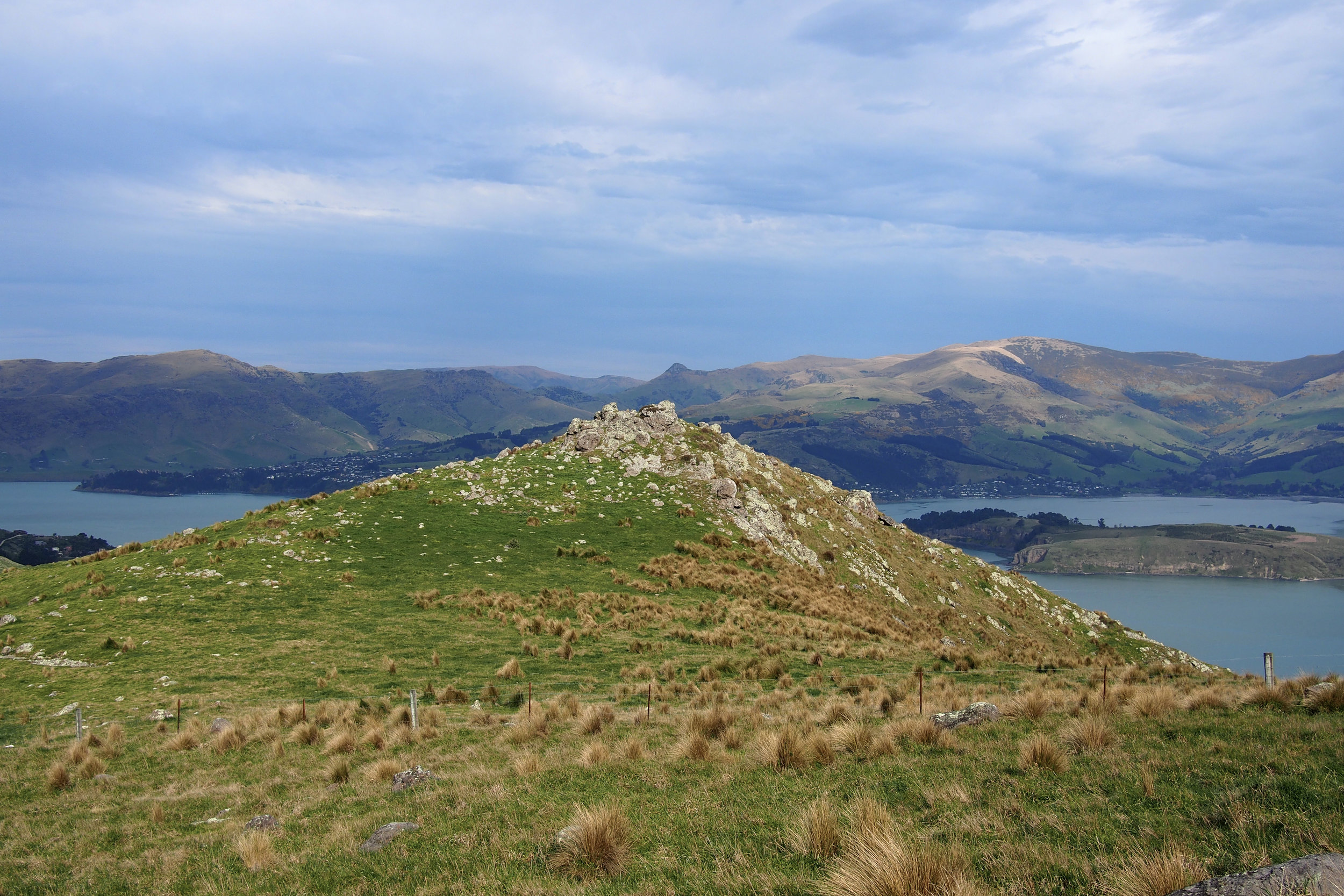
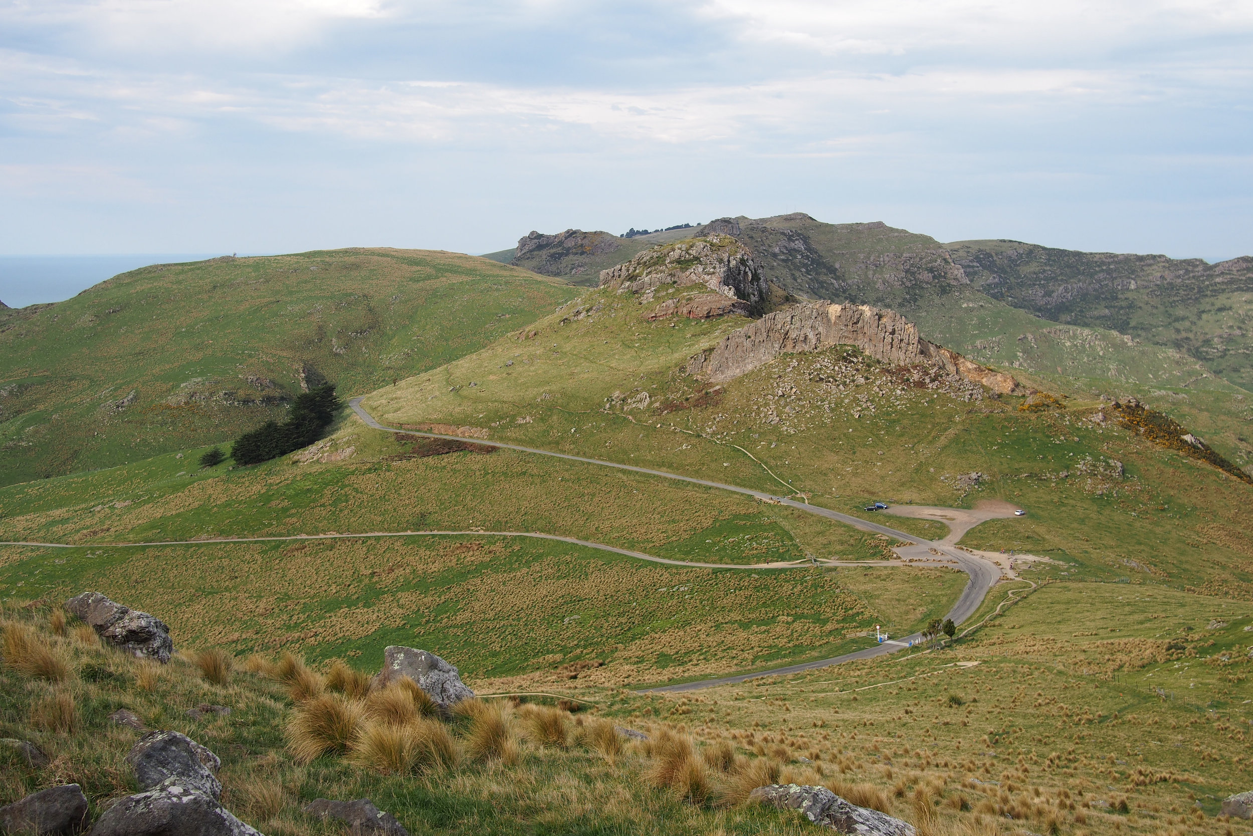
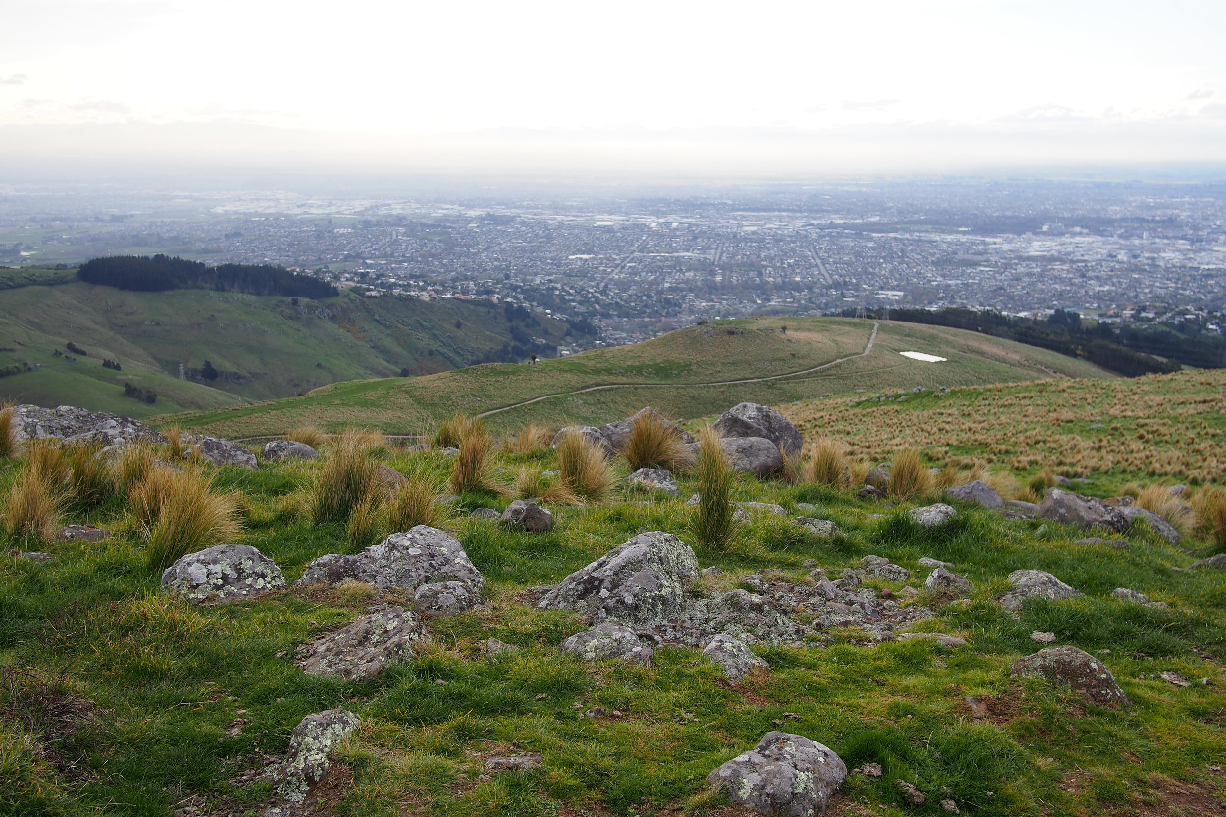
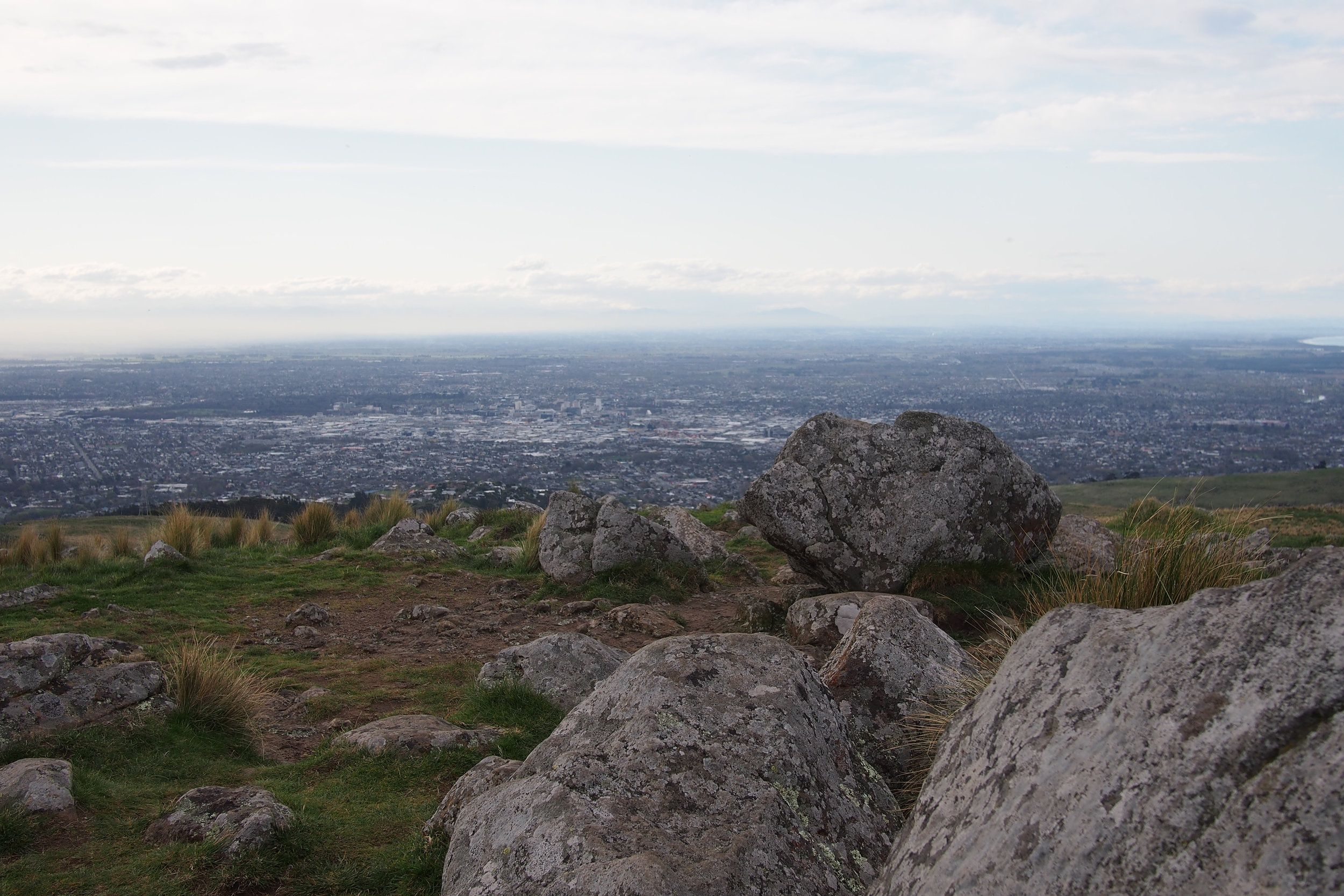
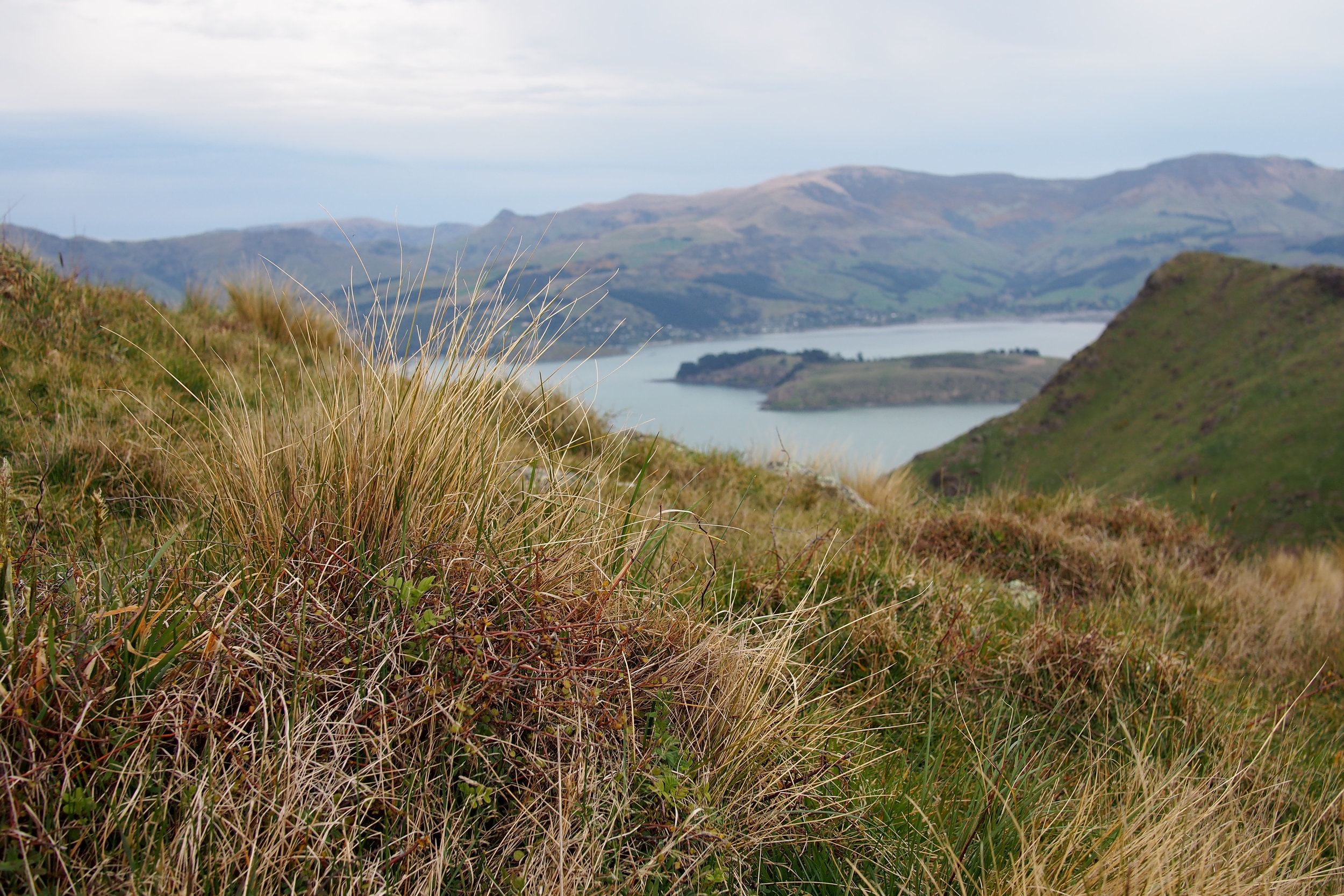
I only open with this because its funny to laugh at other people's mistakes (you're welcome) so now that you know you will be more successful at walking than us, its a bloody lovely walk. We went at dusk and the light was incredible. The hills were bathed in golden light and it was like a real life VSCO filter. There is major payoff at the summit, with a 360 view over our city and out towards Banks Peninsula.
ROUTE
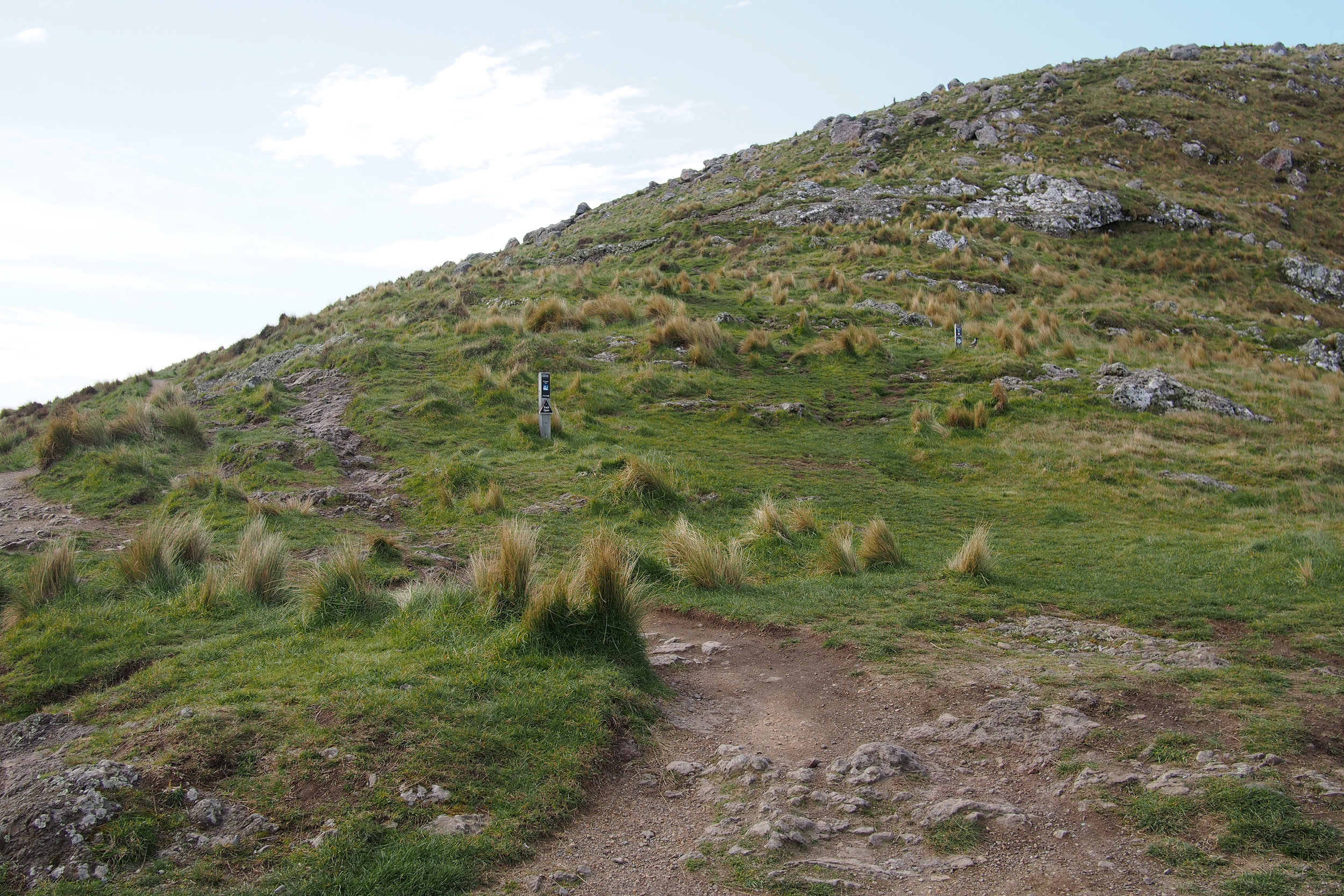
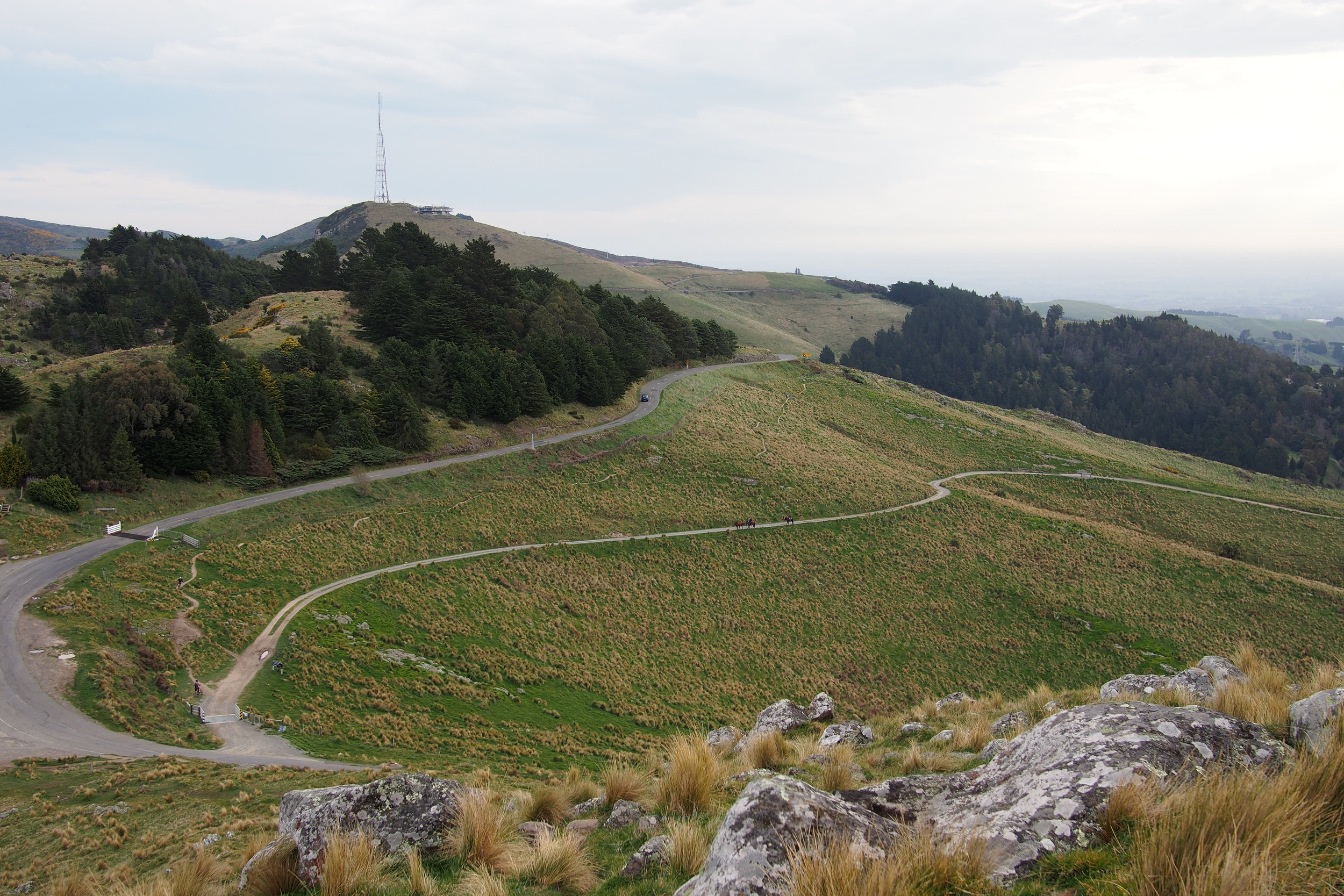
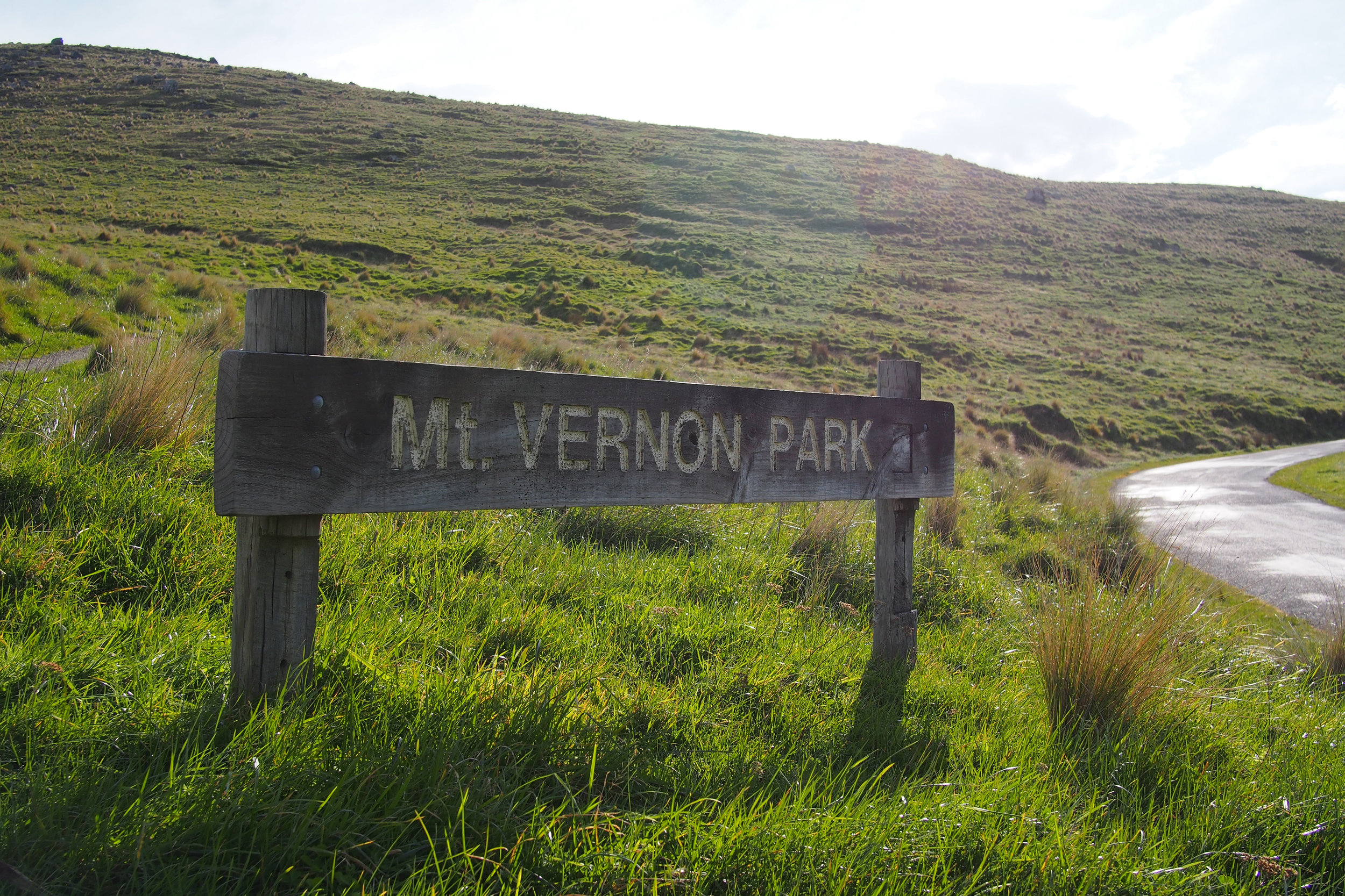
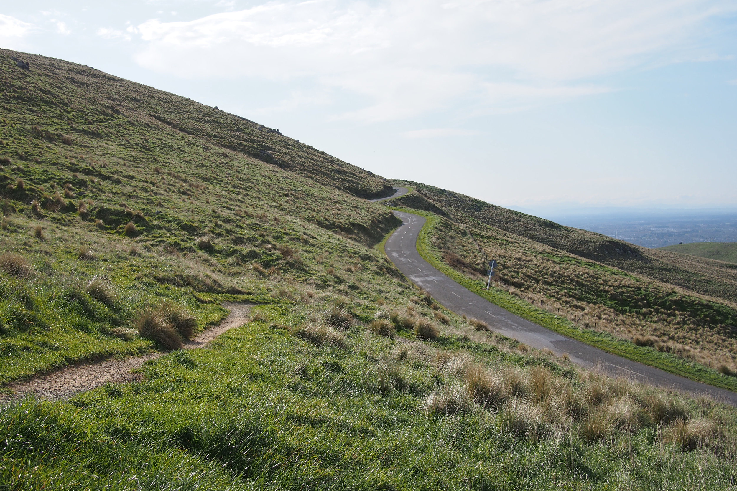
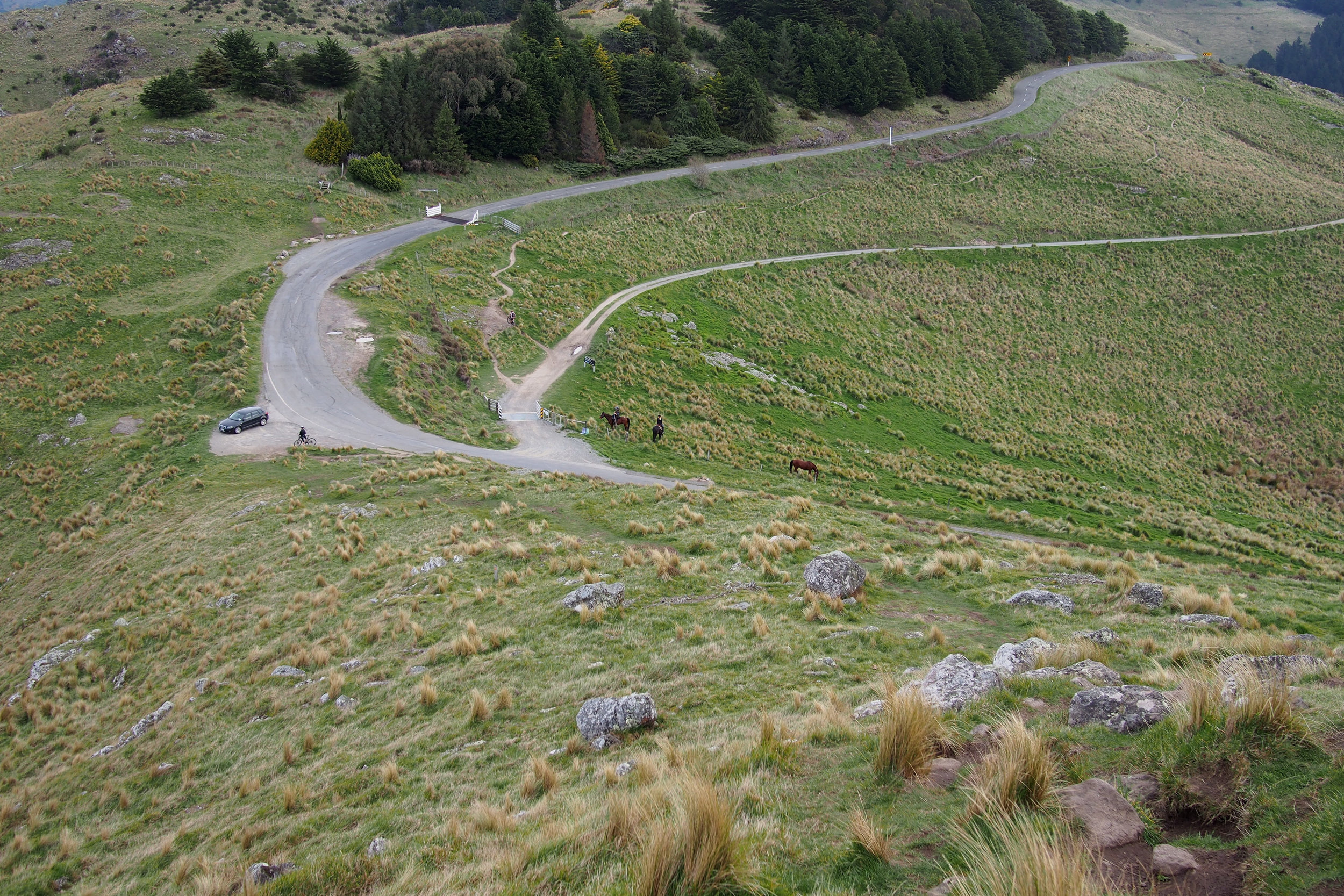
Drive up Dyers Pass Road to Sign of the Kiwi and turn left onto the Summit Road. Follow the road round past Sugarloaf until you reach a sign that says Mt Vernon Farm (the end point of the Sugarloaf to Mt Vernon walk). Across the road from the sign, get on the track and head Sumner direction (don't worry it doesn't end there). There are two tracks, one to the right heads up to the summit, the one to the left takes you round the city side of Mt Vernon. See the variations, but for this walk we went left. Walk round until you get to the top of Rapaki. Then walk straight upwards, following the signs (refer further idiocy on our part in "Hazards"), there is a small matter of a mountain in the way but this track will take you right back where you started.
DIFFICULTY
Its a moderate/advanced walk if you do the up to the summit version. The path round the side of Mt Vernon is pleasant and less taxing and you can return the same way you came (see variations) which would be an easy/moderate walk.
TERRAIN
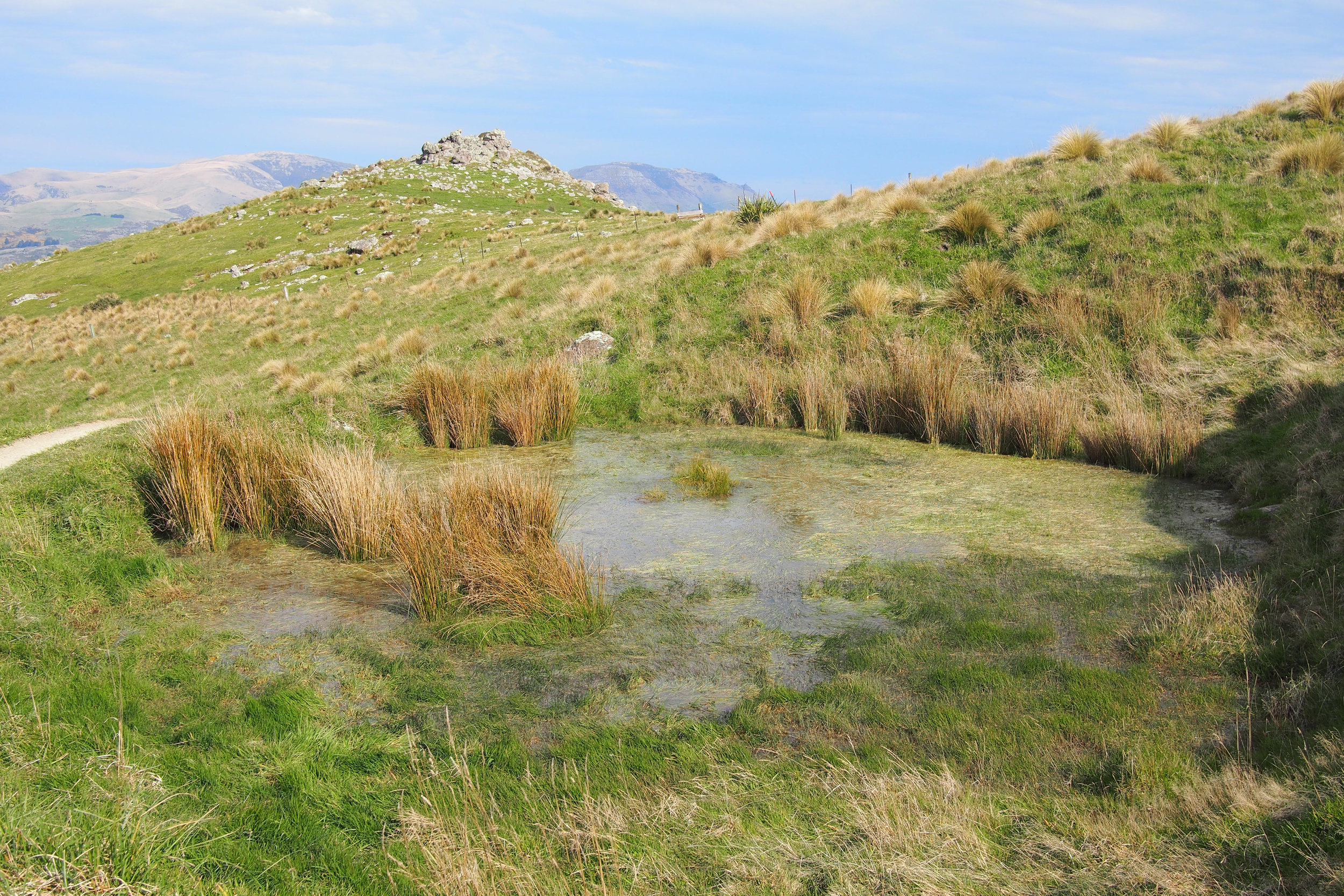
The tracks are pretty solid, its rural so there is a slight risk of an ankle roll on slightly uneven terrain but generally its pretty good. A bit narrow in places if you meet someone coming the other way.
EQUIPMENT
Water, camera, sun protection, layers.
HIGHLIGHTS
A 360 view of basically everywhere and if you go at golden hour, the hills look particularly incredible.
LENGTH
As a moderate to slow walker, this would be a roughly 2 hour round trip, accounting for some breaks to catch your breath on the incline but faster if you don't need those.
Variations
You can take the suggested route on the outward journey, then return the same way you came, back round the side of Mt Herbert. Or you can reverse the whole walk, taking the path to the right, straight up Mt Herbert then taking the "round the mountain path" on the way back. A theoretically (for us) possibility is taking the summit road on the way over, then turning around and walking over it again...
FRIENDLINESS
Lots of runners, who I hold to lesser friendliness standards because they are running, and maybe can't breathe but the batch we struck were all highly courteous, thanking us for balancing as far as possible to the side of the narrow-ish track (but barely getting out of their way on account of the narrowness).
HAZARDS
You may also think it's not difficult not to walk off the side of a cliff, but when dazzled by the apparent lure of a shortcut, it appears there is a legitimate path round the back of Mt Vernon (as opposed to straight over the top). There is not and it doesn't become obvious until you are right on top of some dicey terrain. Its like fine fine fine, perched on a cliffside. It genuinely felt marginal so just accept the path heads directly for the summit. Sigh. Long story short, make sure you are on the official path. To be fair they are signposted but there are other tracks that have been worn in.
